The Western Way
Discover the wilderness of Galway 🏕️
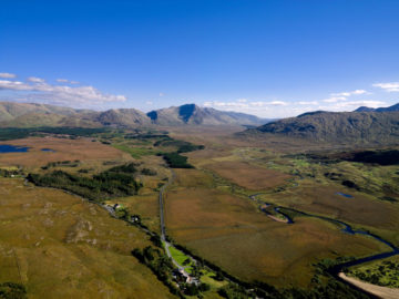
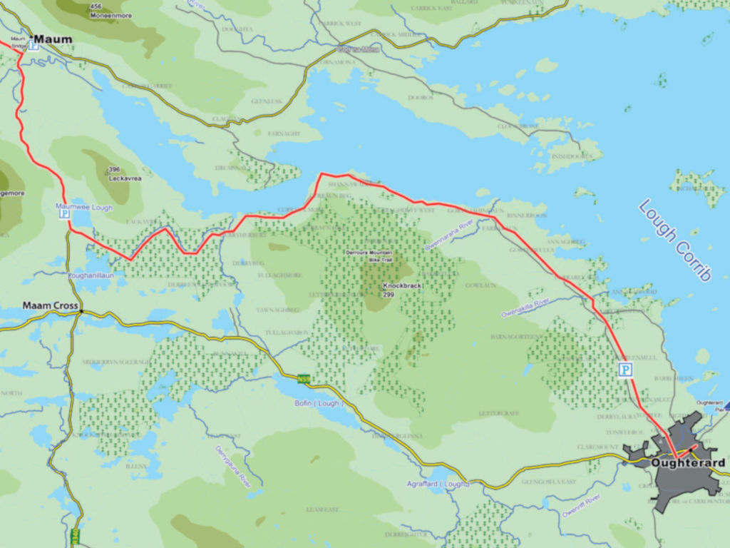
Walk the 55km linear Western Way and you will experience the wilderness of County Galway in an unforgettable way. Beginning in the famous fishing town of Oughterard on Lough Corrib, the route follows the western edge of the lake northward into a spectacularly untouched landscape of mountain and bog as far as the village of Maam Bridge. This is where Scottish engineer Alexander Nimmo planned the modern roads of Connemara in the early 19th century.
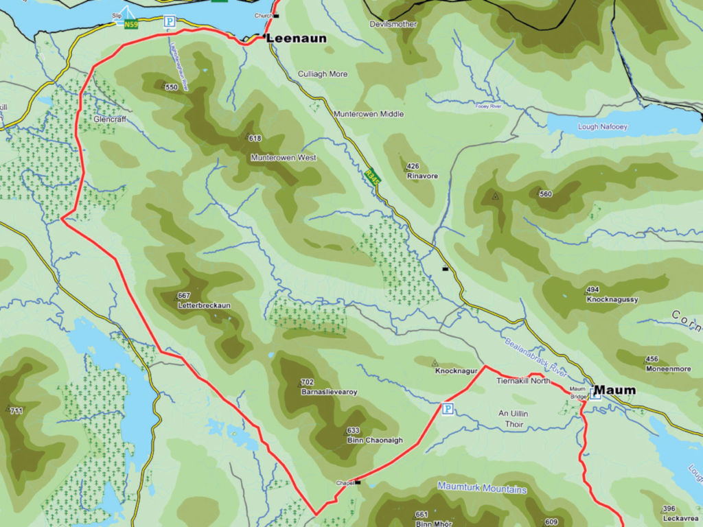
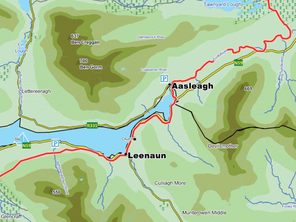
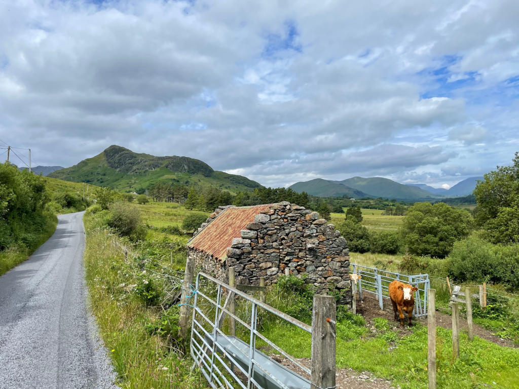
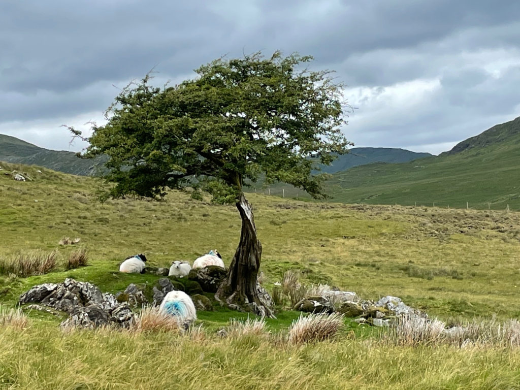
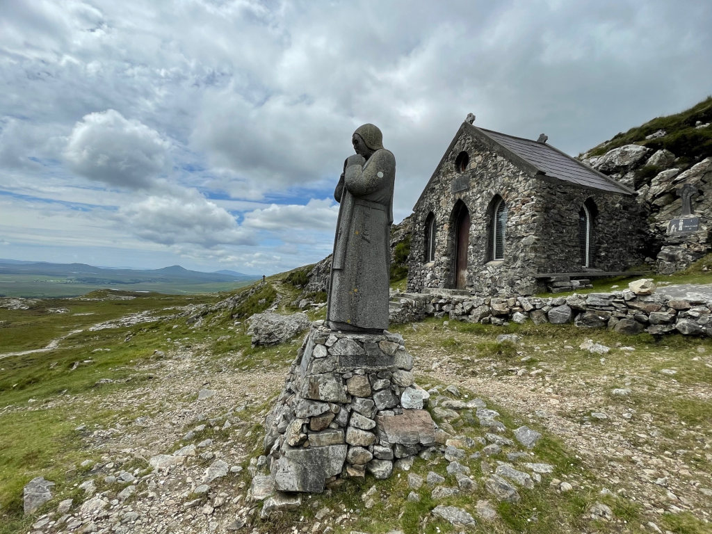
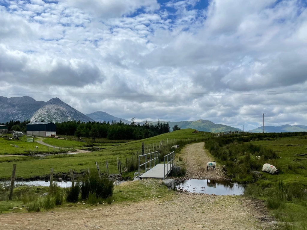
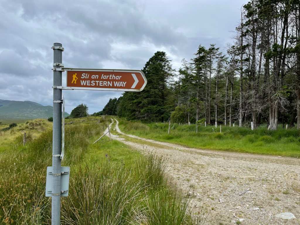
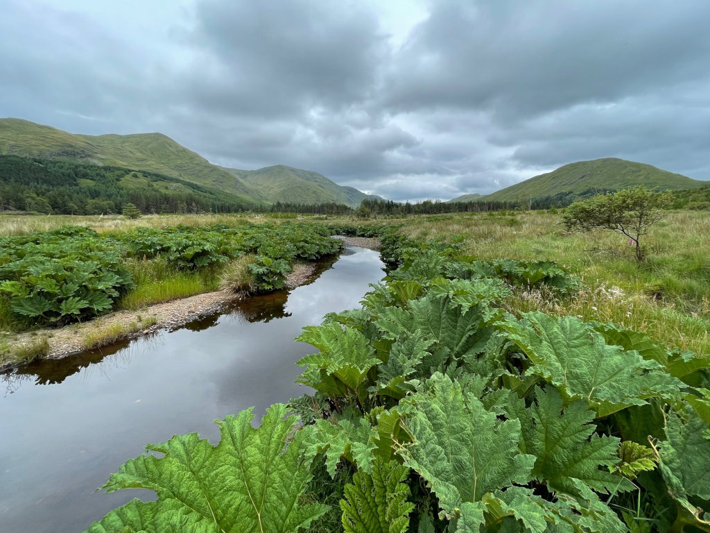
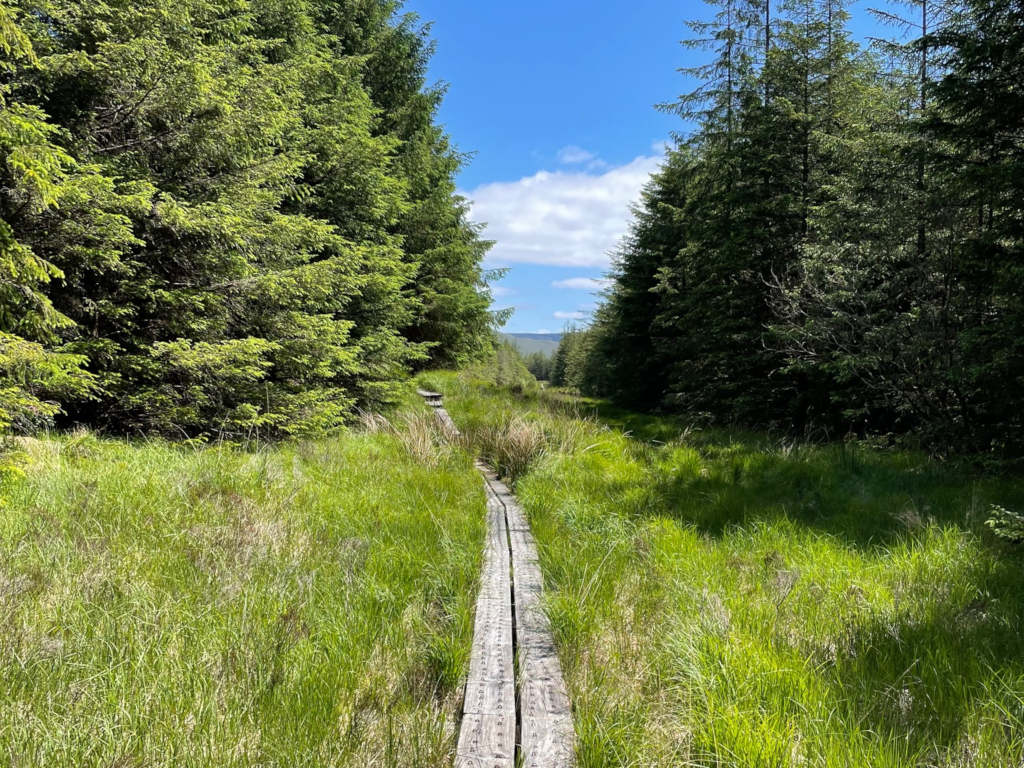
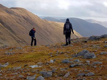
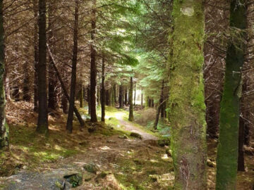
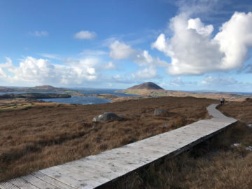
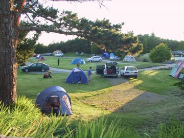
From Maam Bridge, the route crosses the rugged great quartzite range of the Maumturk Mountains before descending into the lovely Inagh Valley and winding its way between the Twelve Bens and the Maumturks, across a melancholy landscape once populated by cottiers, to reach the shores of Killary Harbour and the idyllic village of Leenane. You can join this waymarked trail at various points for an excellent introduction to the beautiful and scenic wilderness of Connemara. The terrain consists of quiet roads, bog roads, open moorland, forestry tracks, mountain paths and timber bog bridges. Plan well, as accommodation is limited along the route.
Route Details
Oughterard > Maam > Maumeen > Inagh > Toorenacoona > Leenaun.
Total Distance: 55km / 34miles.
Longest Stage: Maam to Toorenacoona – 18 km/11 miles (plus 5km/3 miles off route to nearest accommodation).
Highest Point: Maumeen – 259m/850ft.
Estimated time: 2-3 days
Grade: Moderate
Dogs permitted: No
Terrain: 40% tarred road / 60% Off Road (rocky/grass/boardwalk)
How to get to the Western Way 🚌
Galway – Oughterard – Clifden
Bus Eireann (Route 419)
Citylink (Galway-Clifden-Letterfrack)
Western Way Galway Map 🗺️
Click here to view a map of The Western Way from Galway to Sligo.
The Western Way: what to expect
Maps and Guidebooks 📖
Map/Guide to the Western Way (Galway) published by Folding Landscapes.
Western Way Map Guide published by Ordnance Survey.
The Waymarked Trails of Ireland by Michael Fewer.
Mountains of Connemara by Joss Lynam published by Folding Landscapes.
Ordnance Survey Discovery Series Maps No. 37, 38, 44, 45, 1:50,000 (1.25in to 1 mile).
Western Way FAQs
How long does it take to walk the Western way?
Where does the Western Way start and finish?
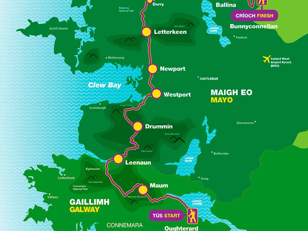
At Aasleagh, the Western Way enters Mayo County. It then heads north, passing past Westport town and on to Newport, crossing the eastern slopes of Croagh Patrick. The trail crosses through the Nephin Mountains on its way to Derry, Bellacorick, and Sheskin, passing through the most inaccessible terrain. It runs along the coast from Ballycastle in north Mayo to Killala, Ballina, and on to the County Sligo border near Bunnyconnellan.
Can you cycle the Western Way?
For further details and online maps for the Western Way click here.