The Maumturks
Discover the Maumturks mountain range 🏔️
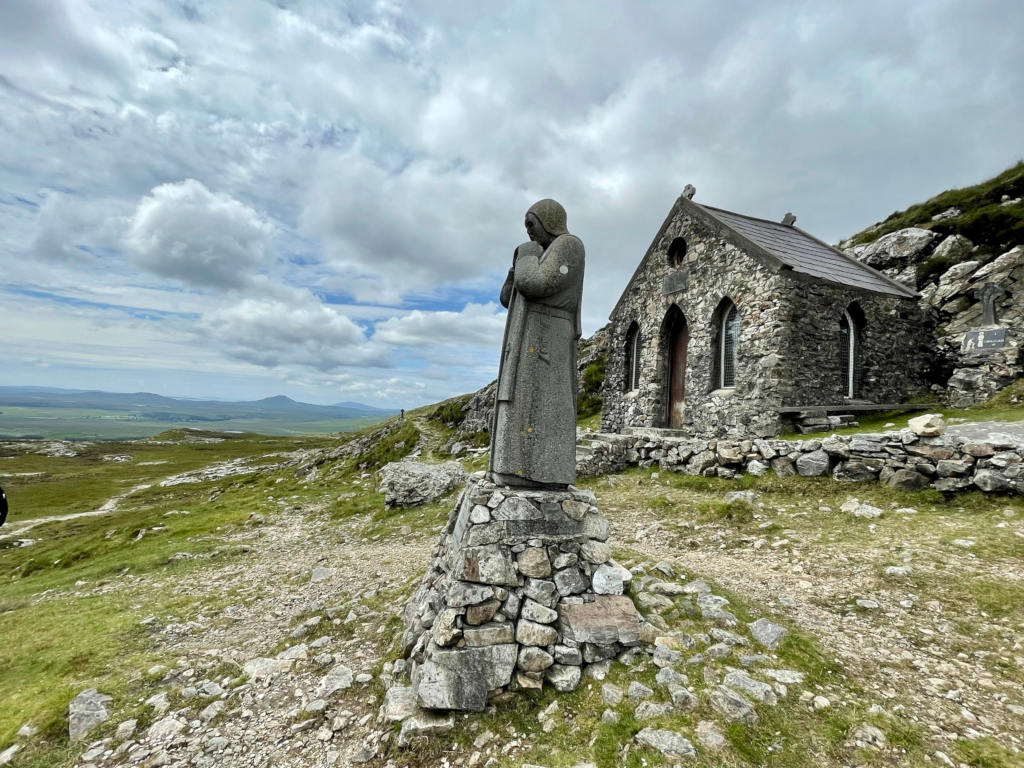
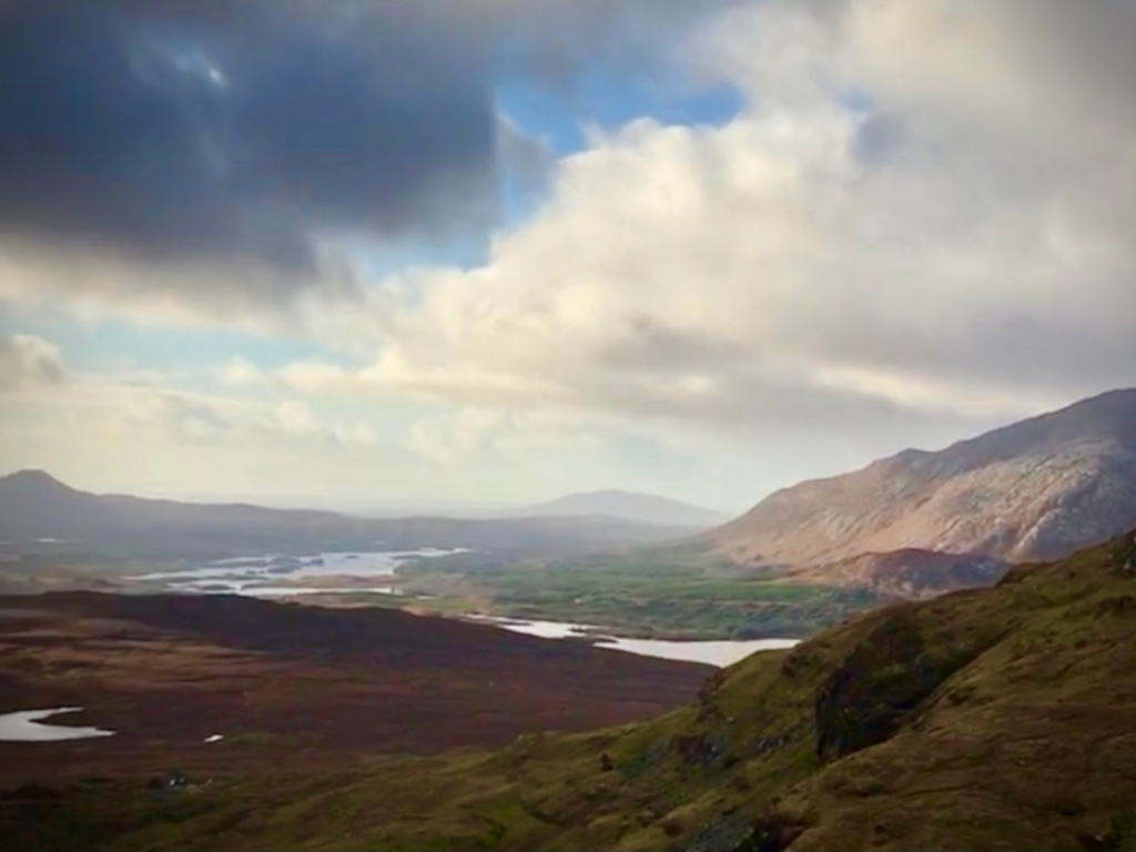
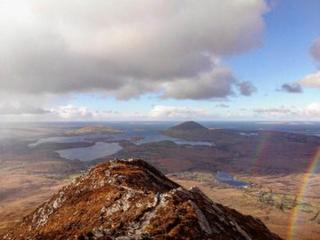
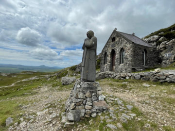
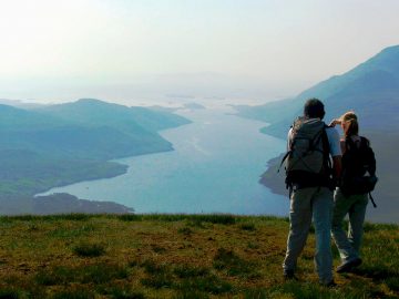
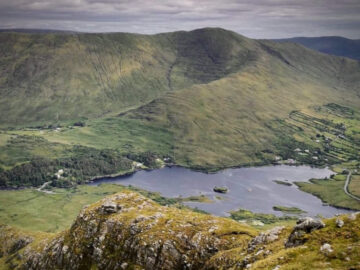
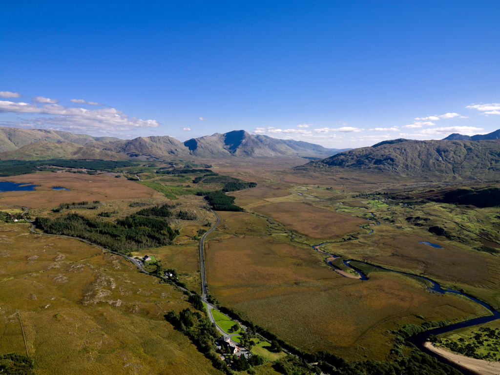
The Maamturks (‘Sléibhte Mhám Toirc’ as gaeilge meaning ‘the mountain of the pass of the boar’) is a major mountain range in Connemara, Co. Galway. Situated parallel to the Twelve Bens mountains, divided by the beautiful Lough Inagh Valley, the range of peaks provide a wonderful and challenging walking and hiking experience and forms a significant section of the Western Way walking trail. Expect unequaled views of the superb Connemara wilderness encompassing lakes, rivers, conifer forests and mountains as far as the eye can see. Although the elevation of the peaks is lower than those of The Twelve Bens, you are ensured of an enjoyable hike, where trails are usually quiet of other walkers. Long distance mountaineers commonly take on the Maumturks Challenge route with a starting point in Corcóg (a road between Maam Cross and Maam) over the saddle at Máméan, a site of pilgrimage dedicated to Saint Patrick, and ending at the northern edge of the range in Leenaun village.
Mountains of The Maumturks in Connemara ⛰️
| Name | Gaelige | Meaning | Height (mtrs) |
|---|---|---|---|
| Binn idir an dá Log | Binn idir an dá Log | Peak between the hollows | 702m |
| Letterbreckaun | Binn Bhriocáin | Brecan’s peak | 667m |
| Binn Mhor | Binn Mhór | Great peak | 661m |
| Binn Chaonaigh | Binn Chaonaigh | Peak of the moss | 633m |
| Mullach Glas | Mullach Glas | Grey/green peak | 622m |
| Leenaun Hill | An Meall Dubh | Black knoll | 618m |
| Binn Mhairg | Binn Mhairg | Peak of woe | 612m |
| Corcogemore | Corcogemore | Beehive | 609m |
| Knocknahillion | Cnoc na hUilleann | Peak of the west elbow | 607m |
Maumturks Peaks & Hike Route Map
Start: Corcóg (OS Grid: L 953 492)
End: Leenaun (OS Grid: L 872 618)
Distance: 24.2 km
Duration: 10 hours (approx)
Ascent: 2,082m
Descent: 2,162m
How to get there
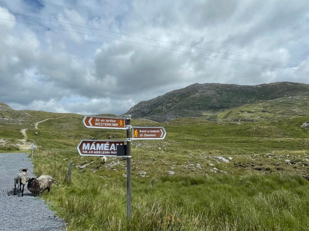
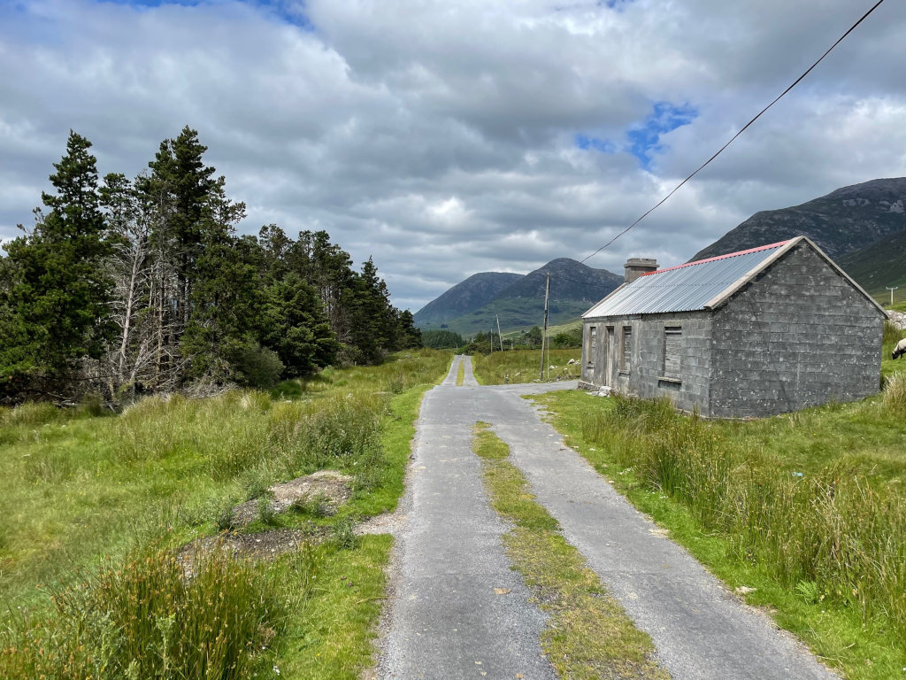
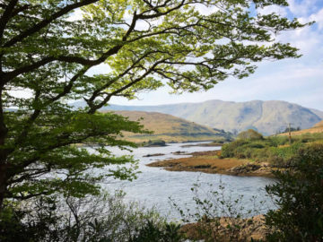
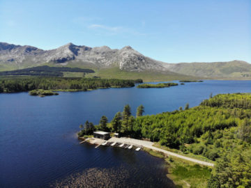
To get to the Maumturks, follow the N59 Galway to Clifden road west and you’ll travel through the villages of Moycullen, Oughterard, Maam Cross and Recess. After Recess you need to take the right turn onto the R344, signposted to Letterfrack leading through the scenic Inagh valley. You’ll see the immense Twelve Bens range to your left. When you reach the view of the boathouse and by Lough Inagh which has a layby with picnic bench, take a right turn onto a country road signposted Maimeáin. About 2km down this road you’ll find parking spaces which marks the start of the Maimeáin walk.
The Maumturks: in pictures