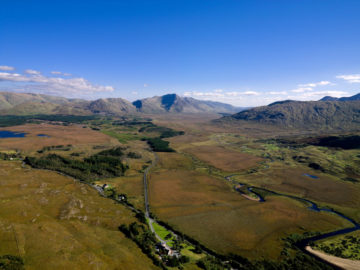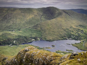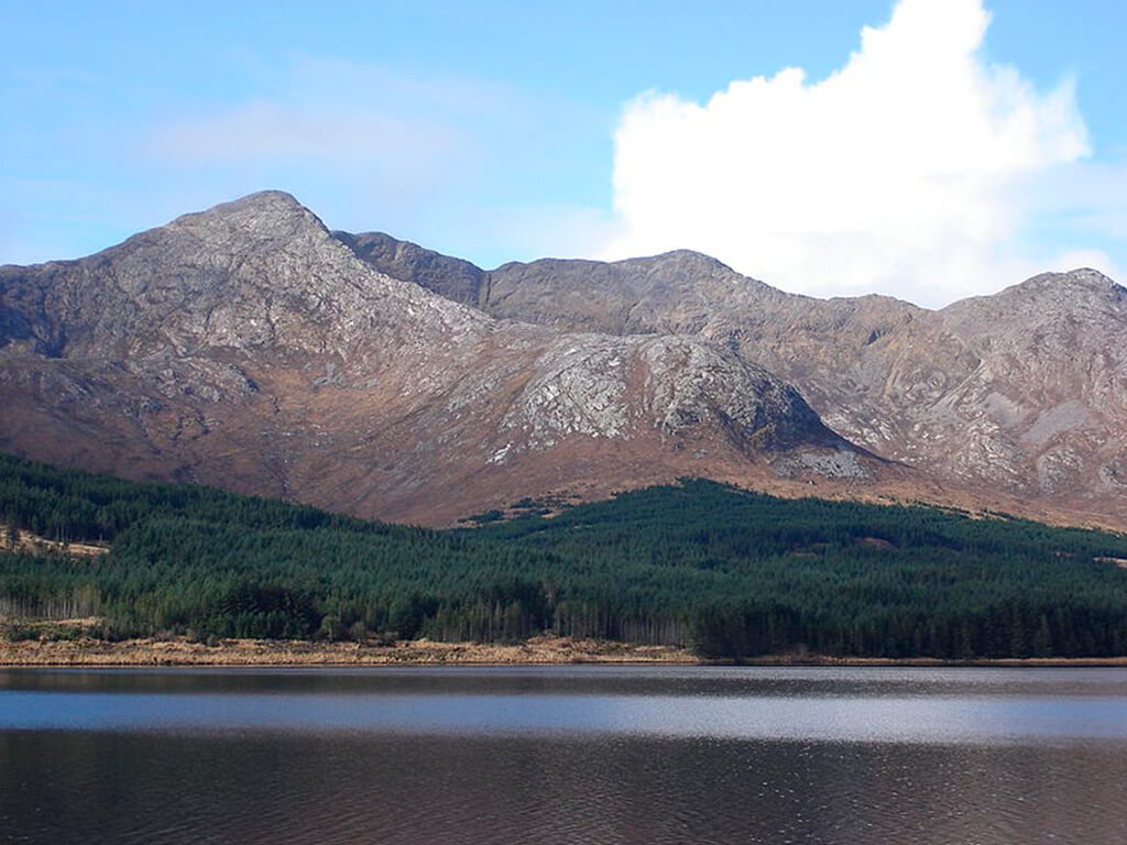
The Twelve Bens
Mountains in Connemara National Park ⛰️
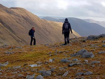
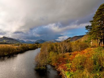
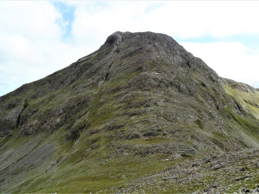
The Twelve Bens (Na Beanna Beola in Irish) are a well known group of mountains scattered throughout the centre and north of Connemara. To get to The Twelve Pins follow the N59 from Galway or Clifden or travel to the villages of Letterfrack or Recess. Although the mountains are not very high, with the highest being only 730 mtrs, they do ensure excellent walking and climbing opportunities for any outdoor enthuasiast. Climbing on the mountains is very safe and hikers/climbers need little experience to enjoy the wonderful scenery. As with all outdoor activities it is strongly recommended to take precautions with safety and respect the trails upon which you are travelling.
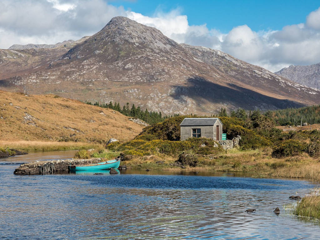
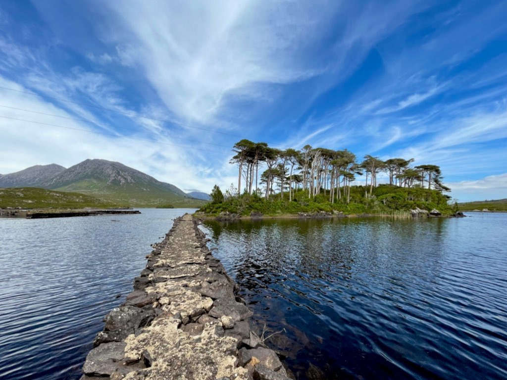
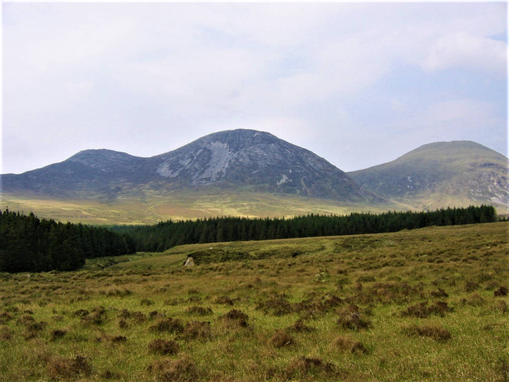
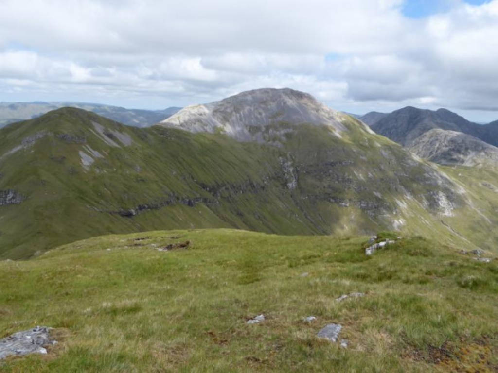
The Twelve Bens are part of Connemara National Park which covers some 2,000 hectares of scenic countryside. There is an information centre in the park where Exhibitions, Nature Trails and Audio Visual Shows on the Flora, Fauna and history of Connemara take place. In addition there is a summer programme of Walks, Talks and Special Events for younger visitors. The centre is fully wheelchair accessible.
Mountains of The 12 Bens in Connemara
| Name | Gaelige | Meaning | Height |
|---|---|---|---|
| Benbaun | Binn Bhán | White Peak | 729m |
| Bencorr | Binn Chorr | Pointed Peak | 711m |
| Bencollaghduff | Binn Dubh | Black Peak | 696m |
| Benbreen | Binn Braoin | Braon’s Peak | 691m |
| Derryclare | Binn Doire Chláir | Peak of Derryclare | 677m |
| Bengower | Binn Gabhar | Goats’ Peak | 664m |
| Muckanaght | Muiceanach | Hill like a Pig | 654m |
| Benfree | Binn Fraoigh | Peak of the Heather | 638m |
| Bencullagh | An Chailleach | Peak of The Hag/Witch | 632m |
| Benbrack | Binn Bhreac | Speckled Peak | 582m |
| Benlettery | Binn Leitrí | Peak of the Wet Hillsides | 577m |
| Benglenisky | Binn Ghleann Uisce | Peak of the Glen of Water | 516m |
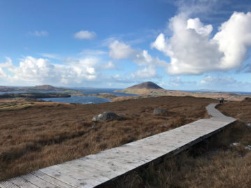
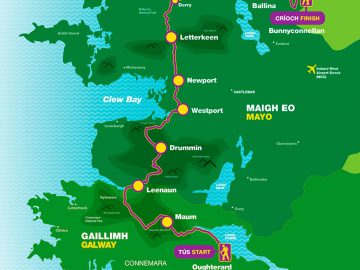
The Twelve Bens peaks map 🌄
Best Hiking Routes in the 12 Bens 🥾
The Twelve Bens: what to expect
12 Bens Mountains FAQs
Why are they called the 12 Bens?
The Twelve Bens, commonly referred to as the Twelve Pins or na Beanna Beola translates to “The Peaks of Beola” in Irish. Beola was an old Fir Bolg chief of a race of people who inhabited ancient Ireland and appear in the mythology as those who ruled the island before the coming of the ancient Irish gods – Tuatha De Danann.
Where are the 12 Pins mountains?
The Twelve Bens is a vast mountain range in Connemara National Park in the west of Ireland.
How long does it take to climb Tully Mountain?
Tully Mountain offers a moderately challenging four to seven-hour coastal looped climb with stunning coastal scenery.
How long does it take to climb Benbaun?
Taking the most convenient climb up Benbaun via the pass of Maumina involves a total over 9km distance and 4 to 5 hours walking.
Is Diamond Hill one of the Twelve Bens?
Diamond Hill peak at 582m is known as Benbrack (Binn Bhreac) and is the most northerly peak of the Twelve Bens.
Best Rate Hotels
Powered by