The Burren Way
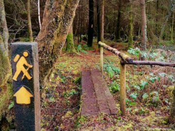
The Burren walking trail
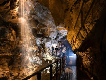
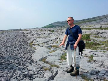
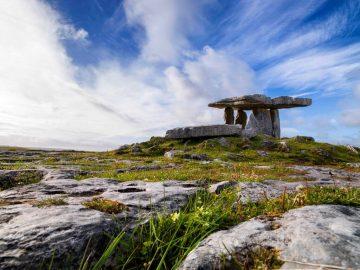
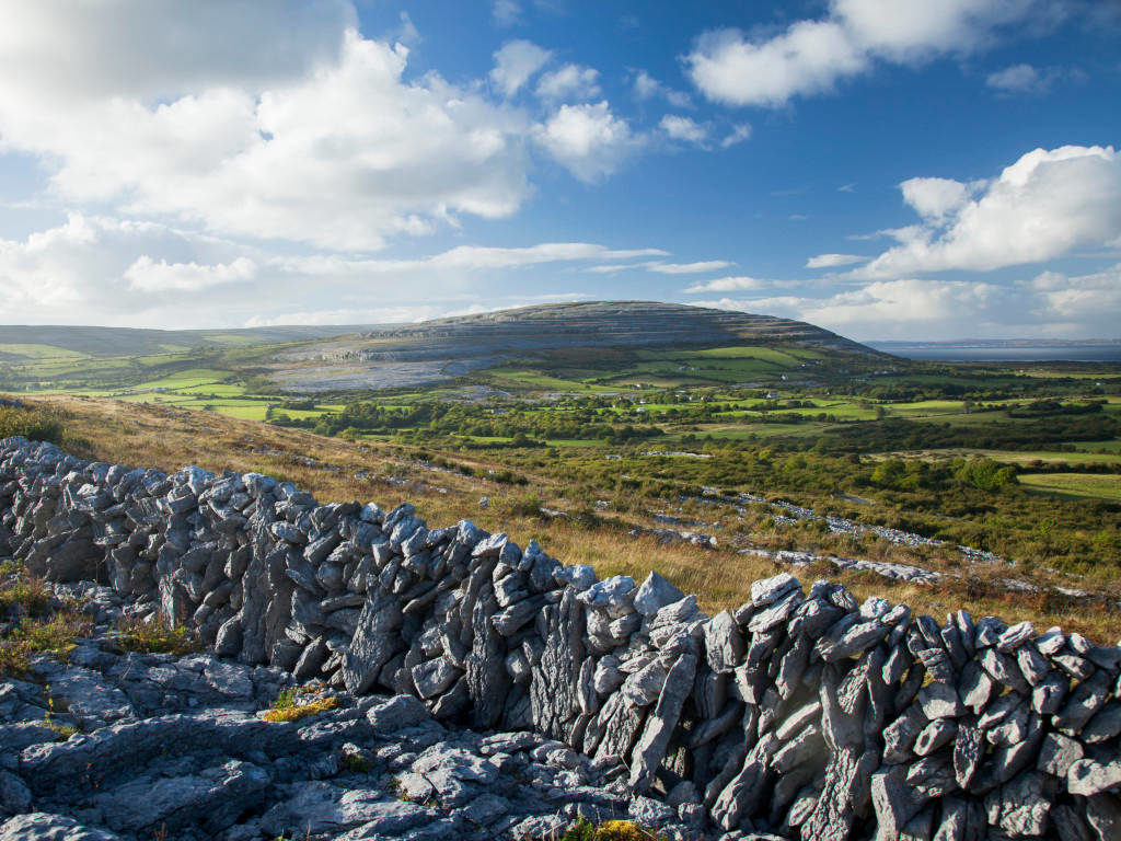
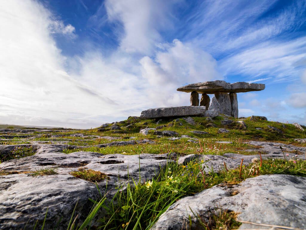
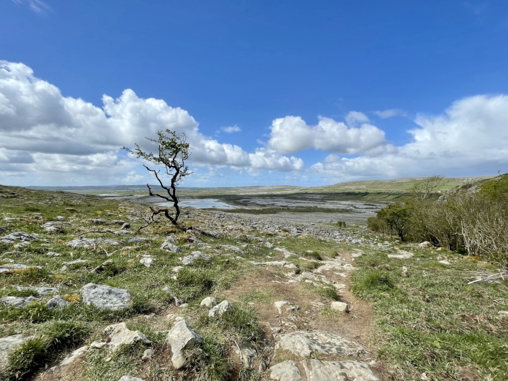
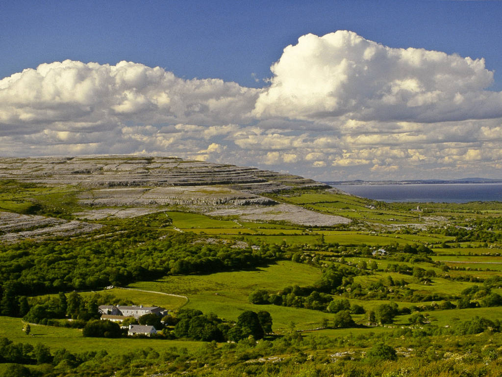
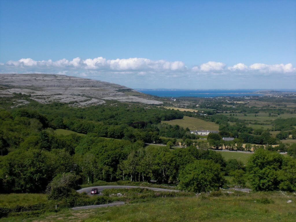
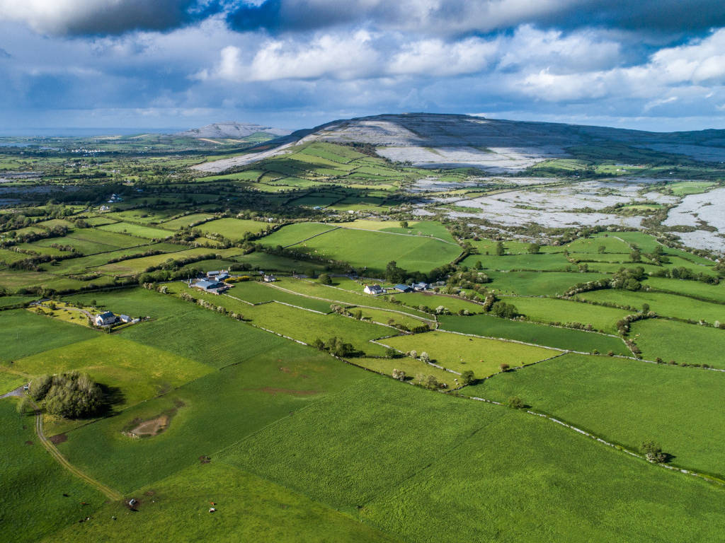
The Burren is a limestone karst region, internationally renowned for its geological features, archaeological remains and magnificent flora. Discover a landscape of contrasts, of wild untamed beauty that is in a constant state of change.
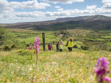
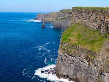
The Burren Way never fails to captivate its visitors. The jagged terrain of this uniquely beautiful part of Ireland and the majestic Cliffs of Moher (with views to the Aran Islands) are two of the delights of this wonderful ramble amongst hills and turloughs. Walking the trail enables you to become at one not only to the physical landscape, but also to the past that has made this place come into being. This landscape of mind embodies the myth, traditions and folklore of a native people. Walkers of all abilities will be stunned by the beauty of this unique landscape.

Trail overview
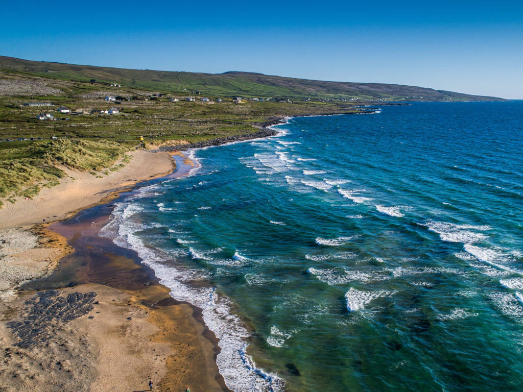
Your starting point for The Burren Way is the famed seaside resort of Lahinch (well known as a mecca for surfers). From here follow the coast north through the village of Liscannor and to the beginning of the spectacular Cliffs of Moher sea cliff walk to the scenic village of Doolin, with its lively pubs with traditional music. From Doolin the trail proceeds north over the hills overlooking the archaepelago of Aran Islands (Inis Óirr, Inis Méain and Inis Mór) to Fanore.
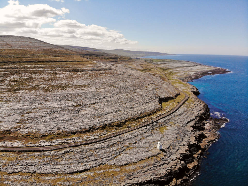
The route from Fanore takes you around the bare unusual limestone landscape of Black Head, the most northerly part of The Burren Way, and continues along between the hills of the Burren to Ballyvaughan, on the shores of Galway Bay. The route then takes you through the heart of the Burren at Carran, finishing up in Corofin in the lowlands on the Burren’s south eastern edge.
Burren Way Route Details
Ballyvaughan, Ballinalackan, Doolin, Lahinch.
Total Distance 45km/28 miles.
Longest Stage Ballyvaughan to Ballinalackan – 23km/14 miles.
Highest Point Slieve Elva (shoulder) – 344m/1,124ft.
The Burren Way Route Map
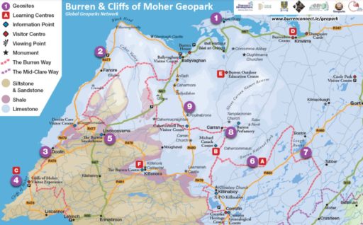
The Burren Geopark Map
The Burren Way: what to expect
Maps and Guidebooks
- The Burren Way Map Guide published by Shannon Development.
- The Waymarked Trails of Ireland by Michael Fewer.
- Ordnance Survey Discovery Series Map No. 51, 57, 1:50,000 (1.25in to 1 mile).
- Map of Burren 1:31,680 (2in to 1 mile) published by Folding Landscapes.