The Suck Valley Way
Waymarked trail in North East Galway
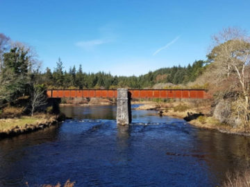
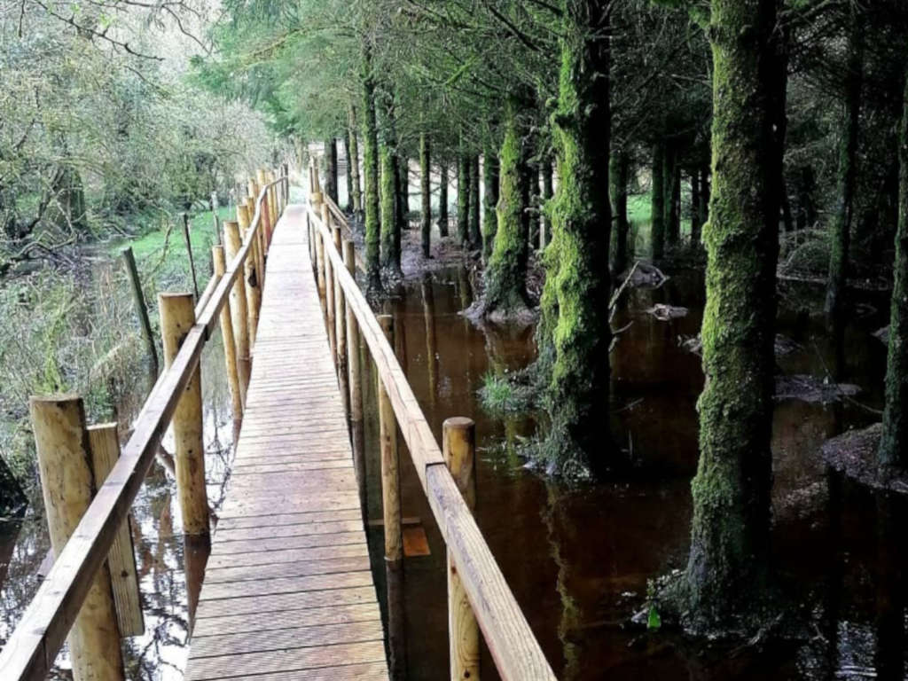
The River Suck links a 105km area of countryside in West Roscommon and East Galway, commonly known as The Suck River Valley. Walking and nature enthusiasts can immerse themselves in this unspoiled countryside by exploring Ireland’s longest waymarked trail, the The Suck Valley Way.
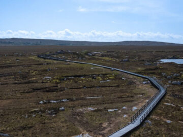
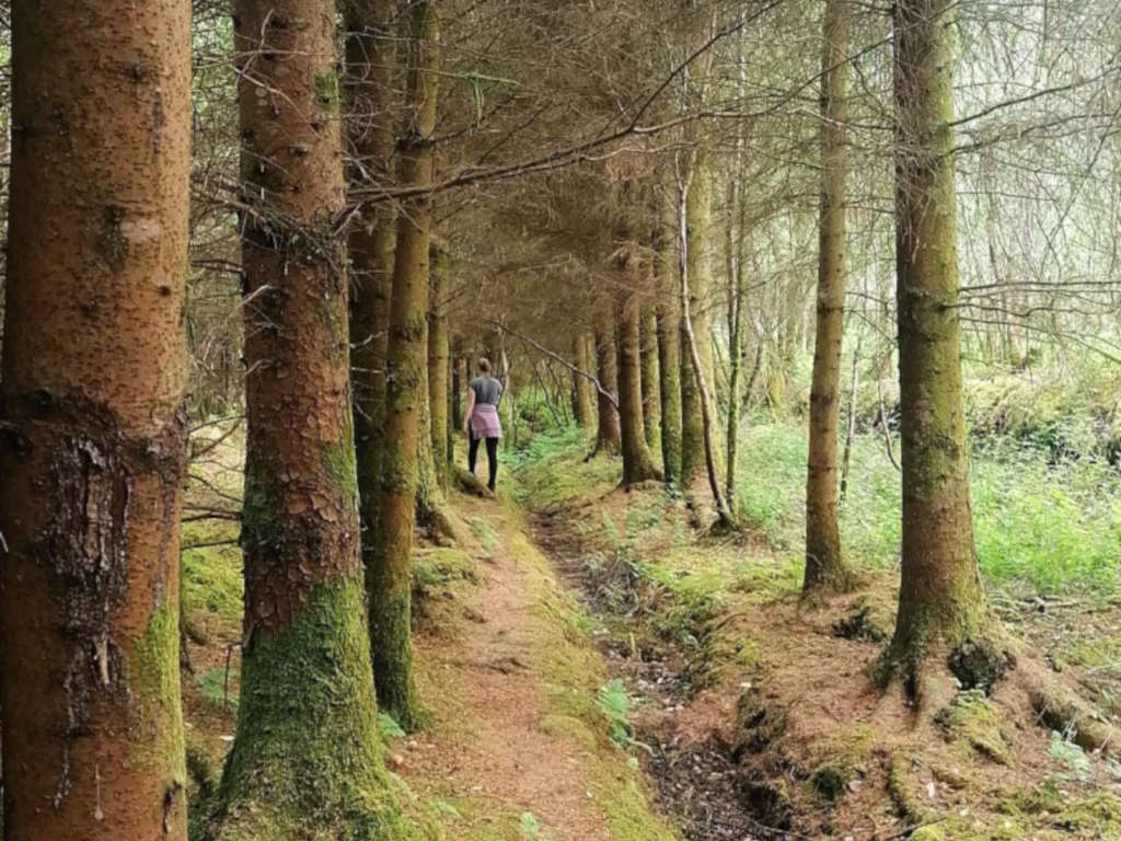
The near 100km route is an exception among Waymarked Ways in Ireland because for most of it’s length it runs along lowland farms. It also crosses the boglands and callows of the river Suck which encompasses their numerous lakes and drainage channels. The way passes through the “Nine Friendly Villages”, Ballygar, Creggs, Glinsk, Ballymoe, Ballintubber, Dunamon, Castlecoote, Athleague and Castlecoote.
Images © discoversuckvalleyway.ie
Each of the “Nine Friendly Villages” has its own charm and association with characters from history. In each village along the Suck Valley Way you will see an information Map Board depicting the route and historical sites of the valley.
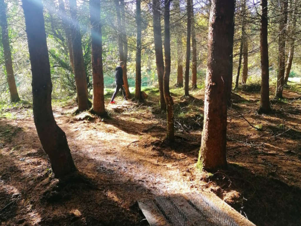
The area is rich in history, and offers a unique opportunity to experience the life of rural Ireland, a glimpse of its history and the rich bird- and plant-life of the boglands and callows.
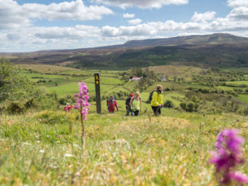
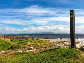
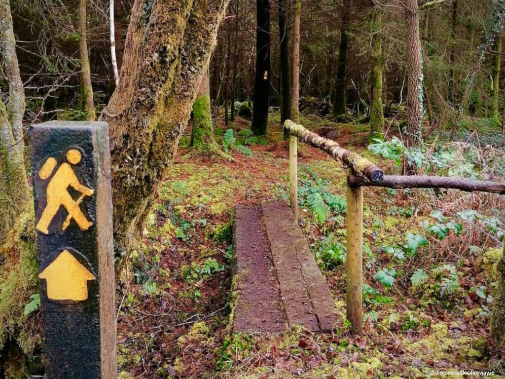
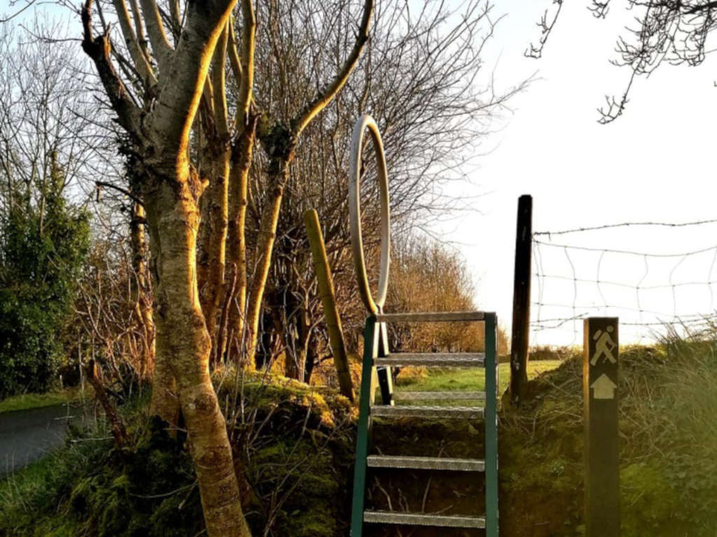
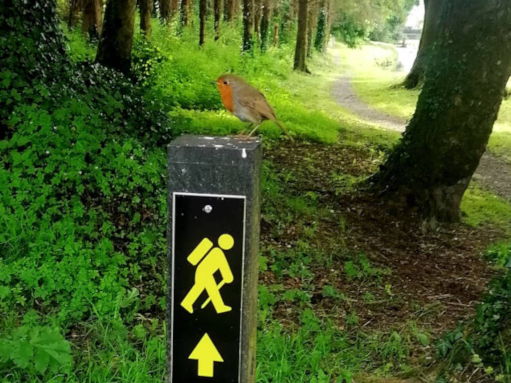
The Suck Valley Way is marked with black posts on which carved yellow arrows show direction, and feature the international Walking Man symbol above the arrow. Whenever the Way leaves or joins a tarmac road you will see a brown fingerpost inscribed “Suck Valley Way” with the Walking Man Symbol.
A fast walking pace may allow the trail to be completed in approx 6 days, but the more moderate walker may break the route into smaller stages, stopping en route to re-energise in any or all of the villages along the way.
For more see: www.discoversuckvalleyway.ie